Boon is 3 to 5 knots from SE (135)
Temperature is 52°

Oceana is 2 to 6 knots from ENE (68)
Highest gust this week: 30 knots at 3:46pm Thursday
Temperature is 51.2° (6547 minutes ago)

Lawsons is 5 to 11 knots from SSE (153)
Temperature is 67.5°

CDIP  (75 minutes ago)
North swell is 4.3' @ 9.1 from NW (315)
South swell is 1.0' @ 15.3 from SSW (200)

Bodega Buoy (55 minutes ago):
Swell is 7.5' @ 8  from the WNW (299)
Wind is 21 to 27 knots from NW (310)
Average wave period (APD) is 6 secs


Point Arena Buoy (55 minutes ago):
Swell is 6.9' @ 7  from the NW (317)
Wind is 18 to 21 knots from NW (320)
Water temp is 54 degrees
Average wave period (APD) is 5 secs


California Buoy (55 minutes ago):
Swell is 4.6' @ 17  from the WSW (256)
Wind is 14 to 16 knots from N (360)
Water temp is 64 degrees
Average wave period (APD) is 6 secs
(12 to 15 hours away)


Ocean Station Papa Buoy
offline (19)
(Way the hell out there, up by the Aleutians)


SE Papa Buoy (25 minutes ago):
Wind is 18 to 21 knots from N (360)
Average wave period (APD) is 10 secs
(32 hours away for a 14 second swell from 290 degrees, 27 hours for 17 secs, 23 hours for 20 secs)


Point Reyes Buoy (19 minutes ago):
Swell is 8.9' @ 8  from the NW (311)
Water temp is 53 degrees
Average wave period (APD) is 6 secs


Cape Mendocino Buoy (45 minutes ago):
Swell is 4.9' @ 17  from the WNW (285)
Water temp is 51 degrees
Average wave period (APD) is 6 secs


SF Buoy (25 minutes ago):
Swell is 6.6' @ 8  from the NW (304)
Wind is 18 to 21 knots from NW (310)
Average wave period (APD) is 6 secs


BOON Sensor (5 minutes ago):
Air temp is 52 degrees
Wind is 3 to 4 knots from the SE (135) (chart)
Rainfall last 24 hours: 0 inches (rainfall deets)


Show the Windy forecast
Today: WNW wind 8 to 14 kt, with gusts as high as 22 kt. Mostly sunny.
Tonight: WNW wind 9 to 14 kt becoming variable and less than 5 kt after midnight. Winds could gust as high as 22 kt. Mostly cloudy.
Saturday: Variable winds less than 5 kt becoming W 5 to 9 kt in the afternoon. Partly sunny.
Saturday Night: W wind 5 to 9 kt becoming variable and less than 5 kt after midnight. Mostly cloudy.
Sunday: Variable winds less than 5 kt becoming W 5 to 7 kt in the afternoon. Patchy fog before 11am.
Sunday Night: W wind 5 to 7 kt becoming variable and less than 5 kt in the evening. Cloudy.
Monday: Variable winds less than 5 kt becoming WSW 5 to 7 kt in the afternoon. Cloudy.
Monday Night: WNW wind 5 to 7 kt. Cloudy.
Tuesday: Variable winds less than 5 kt becoming W 6 to 11 kt in the afternoon. Mostly cloudy.
Hourly Wind Forecast:
5pm:
8 to 10 mph
from SW
![]()
6pm:
8 to 11 mph
from SW
![]()
7pm:
8 to 12 mph
from SW
![]()
8pm:
7 to 13 mph
from SW
![]()
9pm:
6 to 12 mph
from SW
![]()
10pm:
5 to 10 mph
from SSW
![]()
 0.12
0.12
11pm:
4 to 9 mph
from SSW
![]() 0.19
0.19
12am:
4 to 9 mph
from S
![]() 0.21
0.21
1am:
5 to 9 mph
from S
![]()
2am:
5 to 10 mph
from SSE
![]()
3am:
5 to 10 mph
from SSE
![]()
4am:
5 to 11 mph
from SSE
![]() 0.45
0.45
5am:
6 to 11 mph
from SSE
![]() 0.56
0.56
6am:
5 to 10 mph
from S
![]() 0.52
0.52
7am:
5 to 10 mph
from S
![]() 0.48
0.48
8am:
5 to 9 mph
from S
![]() 0.43
0.43
9am:
5 to 9 mph
from SSW
![]() 0.48
0.48
10am:
6 to 8 mph
from SW
![]() 0.52
0.52
11am:
6 to 8 mph
from SW
![]() 0.56
0.56
12pm:
7 to 8 mph
from WSW
![]() 0.57
0.57
1pm:
7 to 8 mph
from WSW
![]()
2pm:
8 to 8 mph
from W
![]()
3pm:
9 to 9 mph
from W
![]()
4pm:
10 to 11 mph
from W
![]() 0.61
0.61
5pm:
12 to 12 mph
from W
![]() 0.62
0.62
gimme more wind forecast


Other useful links:
Stormsurf's forecast, OB centric ***
Stormsurfing buoy summary with swell breakdown for Bodega and PA
iKitesurf.com wind forecast for Dillon Beach
nullschool's snazzy wind overview
My CDIP buoy data archive (archive of CDIP buoy data starting October 11, 2016)
CDIP Swell Forecast (click "forcast" at top right)
Tide prediction compared to actual tides
Tempbreak.com water temp graph
Weatherbug: satellite, doppler radar


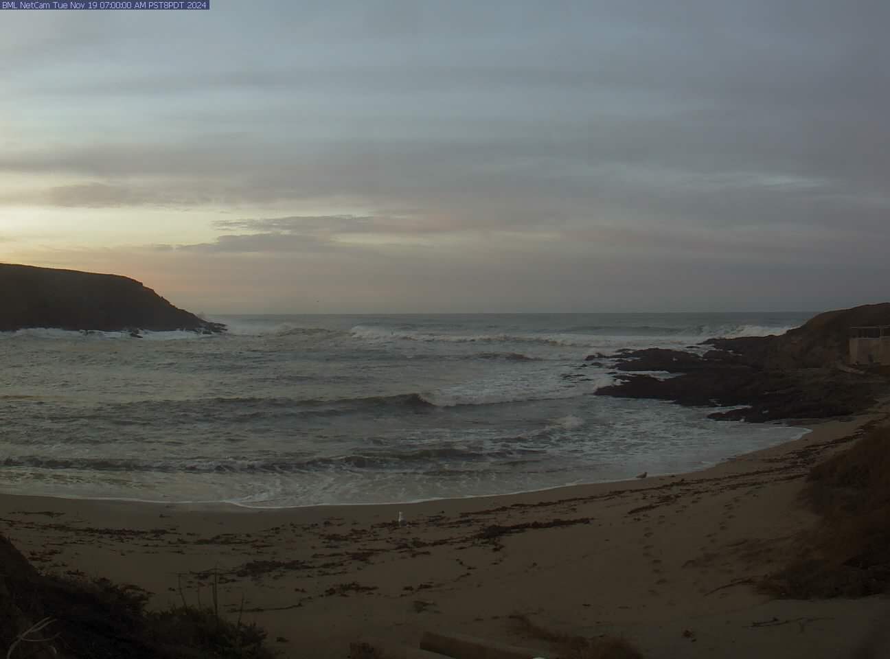
Latest image from the Bodega BOON sensor:
Latest from Point Reyes 10 Mile:

Let me know anything else that would be handy to have here.
This report was generated by the boys in the basement in 1.29 seconds, based on data that's 390599 seconds old. Because we're cool like that.
2026-07-17 08:15:29.443183